
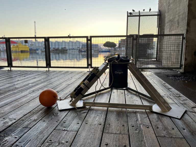
SBG Systems announces the release of the first MEMS-based Gyroscope
A MEMS-based gyroscope for demanding underwater and geospatial applications.
The term PPU comes from the acronym “Portable Pilot Unit”, it is a navigation and docking assistance system dedicated to marine pilots. The PPU is designed to provide pilots with accurate real-time location and speed. The PPU is a compact box that is placed on each side of the ship on the highest platform to receive GNSS signals and communicate with the ship’s instruments.
As far as safety of navigation rules are concerned, there is no official obligation for pilots to use a PPU. The only IMO (International Maritime Organization) reference to its use can be interpreted in the Convention on the International Regulations for Preventing Collisions at Sea, 1972 (COLREGs), in Regulation 5 (Look-out):
“Every ship shall at all times keep a proper look-out by sight and hearing and by all available means appropriate to the circumstances and conditions at the time, so as to be able to appreciate fully the situation or risk of collision.”
And in Regulation 7 (risk of collision):
We are witnessing a considerable increase in the size of modern ships and their traffic in busy ports and sea lanes. Pilots tend to minimize some of the risk factors with more modern tools providing relevant information on the situation to fully assess the risk of collision. A good lookout is definitely better provided by additional modern navigational aids such as a PPU.
In this article we will discuss the 7 most important situations in which a PPU is useful.
A PPU is an excellent pilot aid in conditions of limited visibility. In addition, in circumstances where large structures block the view (e.g., a tall stack of containers), the pilot’s job can become very stressful. The problem becomes more sensitive at night or when extreme weather conditions, such as heavy fog or rain, reduce visibility. In extreme conditions, a PPU sensor can also be considered an excellent navigation tool.
Bathymetry and cartography are evolving. As the size and weight of modern vessels increases, the need for accurate and up-to-date charts becomes a key factor. There may be situations where, among other things, ECDIS or printed charts cannot be fully trusted. Pilots can bring accurate charts provided to them by specialized local authorities, but they must plot their vessel on them in real time.
The most common method is to plug their tablet into the AIS socket, which makes it the most basic form of portable steering unit, this way they can at least be detached by ECDIS. In situations where extreme accuracy is needed, other types of navigation sensors can also be brought on board, but in any case the main objective of using their own chart is achieved, which is very important.
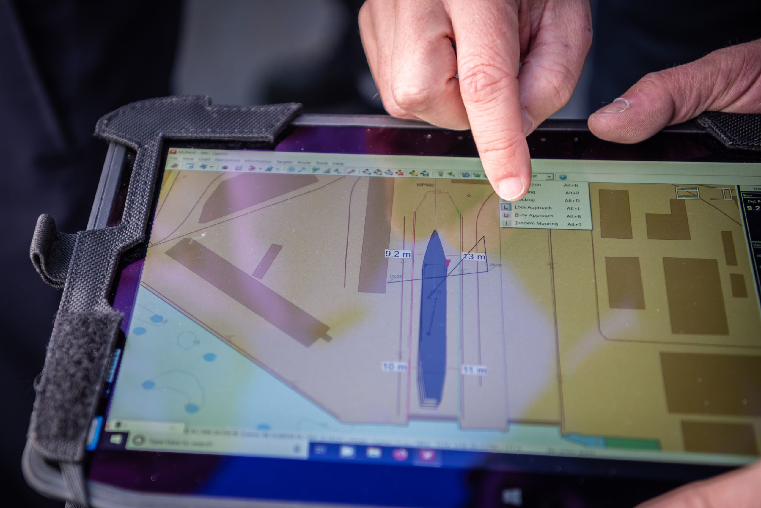
For most of the reasons discussed in this article, pilots are in demand for docking assistance tools that provide accurate vessel location and speed in real time. Accurate heading information can be determined in several ways. ROT is equally important.
The main feature of a PPU is to provide accurate navigation information to help pilots in their daily work more safely and serenely. There are several ways to provide the required accuracy.
When the weight of a vessel is so great that it is moving at slow speeds, the forces that must be applied are massive. This has an impact both on fuel consumption and also on the attention paid to the application of thrust in an optimal way.
Typically, this type of operation takes a long time and is performed very slowly to minimize risk but also to control the enormous amount of power being applied. If a very heavy vessel accelerates more than expected, the expected position must be calculated far enough in advance to control its movement. Accurately detecting these types of accelerations requires sensors that assess the situation very often, and of all things, with extreme accuracy (1 cm/sec), which is what the PPU does.
When it comes to long and large ships, another difficulty arises, that of controlling the drift both aft and forward and assessing the ROT with extreme accuracy. Imagine a 350-meter long vessel whose ROT is not accurately controlled. This is unthinkable. The water space required for maneuvering must be enormous, and unfortunately, in some cases, a pilot must assist the captain in narrow water spaces.
Even in cases where vessels are not longer than 300 meters, it is not uncommon to have vessels with a beam of more than 30 meters. The size of ships has jumped in the last decade. In contrast, ports, canals, rivers and locks have not been able to develop adequately.
Despite intensive dredging, the construction of new and larger ports, it is not uncommon today for a huge ship to have to enter a water space with a margin of a few meters. As if this were not a big enough problem, traffic has also increased, so that the available space has to be shared. The need for control has never been more crucial. This is also the reason why the use of PPU has taken off in recent years.
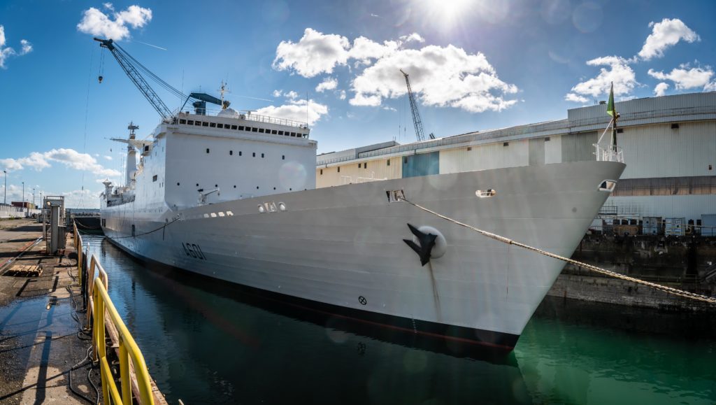
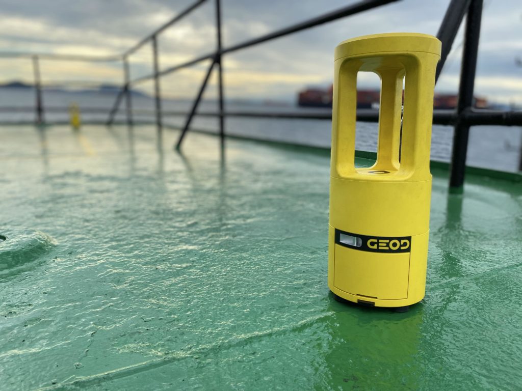
So far in this article, we have not addressed another huge problem, probably the most important of all: UKC. The depth limits are primarily a commercial handicap for shipping companies. On the section of the Elbe before Hamburg, ships with a combined width of more than 90 meters cannot meet in the shipping channel. Access to some ports is limited to small time windows and is dictated by the tide. In some cases, commanders must take the risk of sailing in circumstances where the KCU is at its limit.
To do so, they must have excellent control of the vessel’s position, bathymetry must be accurate, weather and ocean information must be in real time, and restricted areas must be clearly marked. A PPU fits into this scientific environment as a technological tool that acts as a precision position sensor both on the horizontal plane and on the vertical axis. Some are equipped with inertial sensors that measure the heave of the vessel and pitch, which in some cases can detect the SQUAT effect.
Some software allows you to save and replay maneuvers. This is an excellent way to train less experienced pilots. At the same time, more experienced pilots can learn new ways of doing things, once they have been recorded by others.
In the unfortunate event that a complicated situation begins to develop, pilots can seek help from other peers who have more experience with the problem. Some navigation software, which works in combination with PPU sensors, has a solution to broadcast in real time on the internet, what is seen on the pilots’ screen on board. All pilots, even those who are not on duty, can be alerted. They can connect to the server with their smartphone and see what is happening. This allows them to quickly and accurately assess the situation and provide remote support.
Did you like this article ?
Share it with your colleagues or friends
Read next

SBG Systems announces the release of the first MEMS-based Gyroscope
A MEMS-based gyroscope for demanding underwater and geospatial applications.
Sonardyne unveils the SPRINT-Nav U: precision and compactness
The new ultra-compact Sprint-Nav U for integration on UAVs, ROVs and USVs
A look back at the CADDEN 2024 Technical Day
An event packed with conferences, workshops and celebrations!

Tous droits réservés – 2024
Vos données sont collectées et traitées pour vous envoyer notre newsletter et améliorer l’expérience utilisateur du site web. Dans ce cadre, le responsable du traitement est CADDEN. Vous disposez d’un droit d’accès, de rectification, et de suppression de vos données, ainsi que d’un droit de limitation, de portabilité ou d’opposition. Pour exercer ces droits, vous pouvez nous contacter via le formulaire de contact. Pour plus d’informations sur la façon dont nous traitons vos données personnelles, vous pouvez consulter notre Politique de confidentialité.