
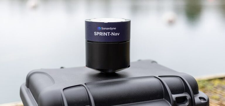
SBG Systems announces the release of the first MEMS-based Gyroscope
A MEMS-based gyroscope for demanding underwater and geospatial applications.
An inertial navigation systems center is a navigation system that provides the orientation of a mobile in a 3D space. Also known as the inertial unit, this technology is sometimes referred to as the Inertial Measurement Unit (IMU) or the Inertial Navigation System (INS).
Depending on the version, the calculated data are roll, pitch, yaw and pounding (wave measurement). Position, speed and heading are measured through the integration of an internal GNSS receiver.
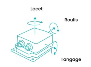
An inertial navigation system is designed to provide accurate (from 1° to 0.001°) and time-stable, real-time orientation measurements for any type of application.
The orientation, speed and position measurements, described above, will particularly help navigation and correct the movements of the mobile in a global acquisition chain (applications: bathymetry, photogrammetry, etc.).
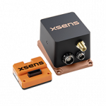
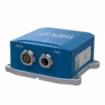
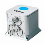
Some inertial navigation systems are equipped with an internal GNSS receiver to reinforce the inertial orientation calculation by adding the GNSS position and velocity measurements.
In some cases, especially when signals are lost by the internal or external GNSS receiver (when passing under a bridge, at the foot of a dock or a large infrastructure), an inertial navigation unit takes over from the GNSS* system to maintain a RTK GNSS position. This principle is called “dead reckoning” or “esteemed navigation”.
An inertial navigation unit has an internal or external GNSS receiver to obtain navigation and speed data in addition to orientation measurements. It uses gyroscopes and accelerometers, while an inertial centre of heading or attitude delivers only the information of roll, pitch, yaw and sometimes the pounding.
The term MEMS is an acronym for “Micro Electro Mechanical Systems”.
An inertial navigation unit based on MEMS technology (gyroscopes, accelerometers, magnetometers) facilitates the manufacture of miniature inertial navigation systems in large quantities, thus getting easier their integration into the most compact systems: watch, video game controller, helmet, drone, camera, etc. The ranges of Xsens and SBG Systems inertial power plants use this MEMS technology.
The inertial navigation unit is a sensor that includes a 3-axis measuring unit consisting of 3 accelerometers, 3 gyrometers and a computer to deliver orientation information.
There are 3 accelerometers, 3 gyroscopes and 3 magnetometers (when a heading is required) distributed on the 3 axes X in the entry-level inertial power plants based on MEMS technology, Y and Z. The high-end versions incorporate more precise accelerometer and gyroscope technologies, so as to avoid magnetometers.
The combination of these different sensors determines the position and orientation of a device precisely and quickly with little drift over time.
In addition to the aforementioned components, an inertial center integrates a calculator with more or less advanced algorithms, the Kalman filter (or extended Kalman filter – EKF); this one helps to estimate an orientation thanks to its algorithms, specific for each manufacturer, applied to acceleration, gyration and even magnetism measurements from the inertial power plant.
AHRS is an acronym for “Attitude and Heading Reference System”. This version provides attitude and heading information.
VRU is an acronym for “Vertical Reference Unit”. This inertial navigation unit version mainly provides roll and pitch information, as well as yaw information from gyroscopes.
IMU is an acronym for the “Inertial Measurement Unit”. This inertial navigation unit version only provides raw data, and temperature calibrated data.
The gyrocompass is a navigation instrument incorporating a gyroscope and equipping low-speed systems, mainly ships. Similar to the compass, this sensor indicates the geographical north independently of the Earth’s magnetic field, by an accurate measurement of the earth’s rotation.
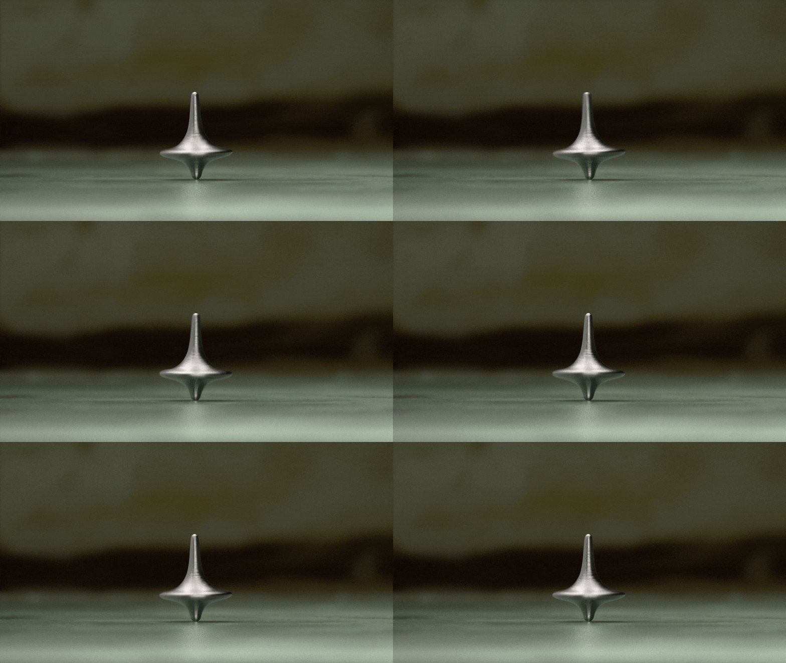
Sometimes called “Northern Researcher”, gyrocompas calculate a geographical heading without the help of a GNSS receiver, and only of a gyroscope of mechanical, electromechanical technology (MEMS, resonant hemispherical gyro…), optics (laser gyro, fiber optic gyro).
They provide accurate True Cape data at a tenth of a degree, regardless of the complexity of the environment (on water, underwater, underground, etc.) and dynamics (multiple applications: AUV, support ship, all-terrain vehicle, etc.).
Gyrocompass is found in our iXblue, Safran and Sonardyne ranges of inertial navigation systems.
The gyroscope is a sensor that measures the speed of rotation on an axis. This rate of turn evolves according to the movements of the inertial unit.
The most powerful versions are able to measure the Earth’s rotation, to deduce a heading information.
To obtain a three-dimensional measurement, a set of 3 gyroscopes forming a triaxial gyrometer is used.
As its name suggests, the accelerometer is a sensor measuring the nongravitational linear acceleration of the mobile on which it is attached, that is, the acceleration of movement.
This information is useful to obtain data on the speed, displacement, vibration and shock of the device, regardless of its size.
After the piezoelectric accelerometer it is now the MEMS accelerometer that is the most used nowadays.
To obtain a three-dimensional measurement, a set of 3 accelerometers forming a triaxial accelerometer is used.
A magnetometer is used to measure the direction and intensity of the Earth’s magnetic field. The use of several magnetometers contributes to the calculation of a magnetic heading. The latter is different from the geographical heading, or true heading, of a few degrees (magnetic declination), the Earth’s magnetic North moving regularly on the Earth’s surface. Note that magnetometers can be disturbed by metal masses, current, magnets, etc.
In a global data acquisition system, the installation varies according to the type of application, however most are equipped with an inertial control unit, a GNSS system and complementary sensors:
The installation of an inertial navigation systems in a global data acquisition system requires a fine calibration of the sensor, taking into account the position of each measuring point on the mobile (measurement of lever arms, position relative to the reference point of the vessel, etc.)
Whatever the type of inertial navigation systems, it is used in marine, underwater, land and air applications.
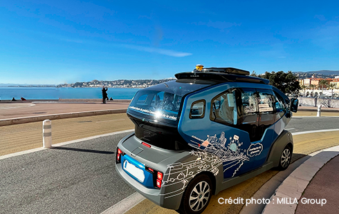
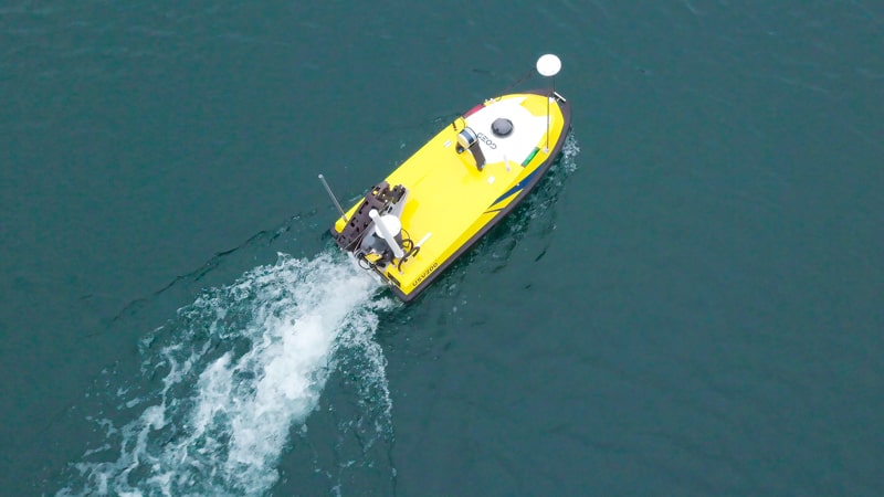
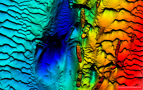


Inertial navigation systems are more relevant for marine and underwater applications, some are available in a waterproof version so as to measure the orientation as close as possible to the sensors (SBG Systems Ekinox and Apogee navigation inertial power plants; iXblue Octans, Phins and Hydrins inertial power plants; Sonardyne Lodestar and Sprint inertial power plants).
*GNSS: acronym representing a satellite positioning system combining all the GPS constellations (American), GLONASS (Russian), Beidou (Chinese), Galileo (European).
Did you like this article ?
Share it with your colleagues or friends
Read next

A MEMS-based gyroscope for demanding underwater and geospatial applications.
The new ultra-compact Sprint-Nav U for integration on UAVs, ROVs and USVs
An event packed with conferences, workshops and celebrations!

Tous droits réservés – 2024
Vos données sont collectées et traitées pour vous envoyer notre newsletter et améliorer l’expérience utilisateur du site web. Dans ce cadre, le responsable du traitement est CADDEN. Vous disposez d’un droit d’accès, de rectification, et de suppression de vos données, ainsi que d’un droit de limitation, de portabilité ou d’opposition. Pour exercer ces droits, vous pouvez nous contacter via le formulaire de contact. Pour plus d’informations sur la façon dont nous traitons vos données personnelles, vous pouvez consulter notre Politique de confidentialité.