Zoom on
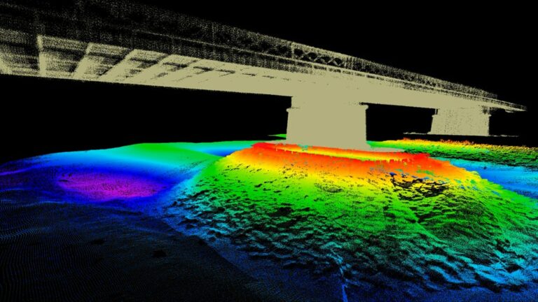
Bathymetry: mapping the seabed
Bathymetry consists in defining the relief of the seabed.
Bathymetry: mapping the seabed
Bathymetry consists in defining the relief of the seabed.

SBG Systems announces the release of the first MEMS-based Gyroscope
A MEMS-based gyroscope for demanding underwater and geospatial applications.
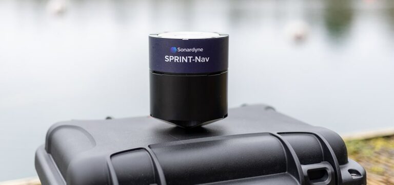
Sonardyne unveils the SPRINT-Nav U: precision and compactness
The new ultra-compact Sprint-Nav U for integration on UAVs, ROVs and USVs