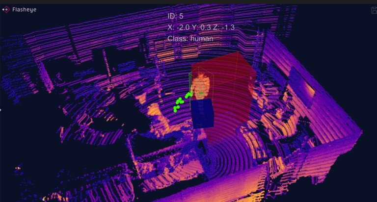
CADDEN becomes the official distributor of Flasheye in France
CADDEN announce becoming the official distributor of Flasheye in France.
The BALI V3 bathymetry system is equipped with new features and always promotes accessibility for all users:
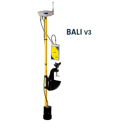
The case of the smart antenna changes its design and features the dark blue colour on the sides, a reference to the Cadden logo. It captures GNSS signals, differential corrections broadcast in GSM and/or UHF to provide precise positioning per centimeter in RTK. Via the Wifi connection, the user directly accesses the integrated web server and can control his bathymetric survey.
Thanks to the new outboard motor type attachment, the operator will be able to fix and orient the Bali pole vertically on any type of boat (type Zodiac®, semi-rigid, boat, canoe, etc.).
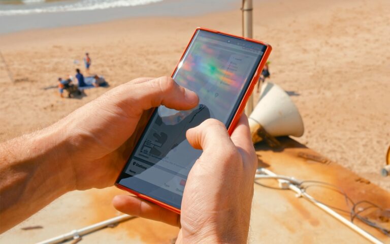
Directly integrated into the smart antenna of BALI, the web server is a software designed to carry out bathymetric surveys dedicated to all users, even those not trained in hydrography. For advanced users, it is compatible with bathymetry software that supports NMEA protocols such as QINSY.
With the V3 from BALI, this software has been revamped and the interface has been completely redesigned to ensure simple and intuitive use. This makes ergonomics easier to configure, even for a novice user. All information is visible at a glance on the dashboard.
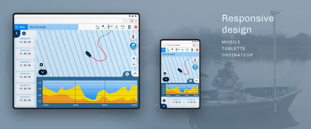
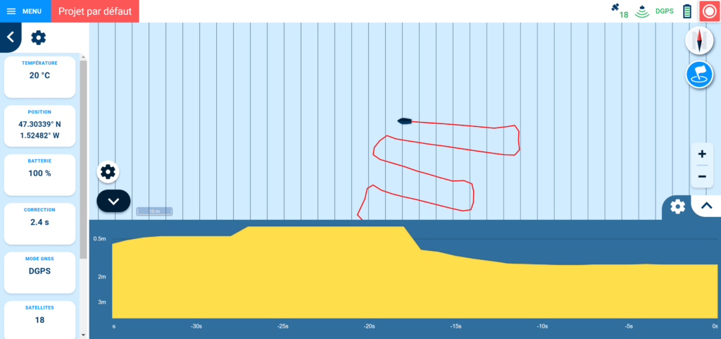
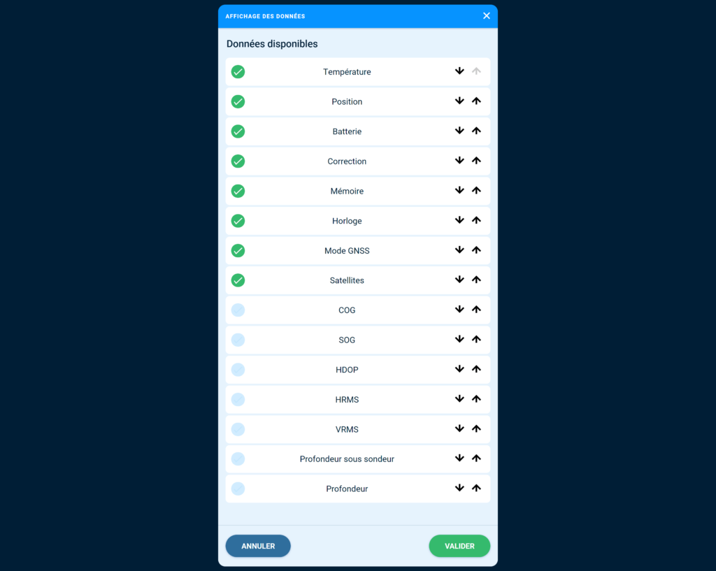
The big change of this new version lies mainly in the creation of projects.
Each user creates one or more projects by defining their own custom settings: UHF frequency, SBAS/RTK positioning, tracking lines, etc. In addition to the default, it is now possible to create as many projects as desired.
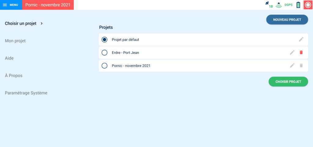
Each project is fully customizable using the different parameters to be configured (pole length, speed, etc.).
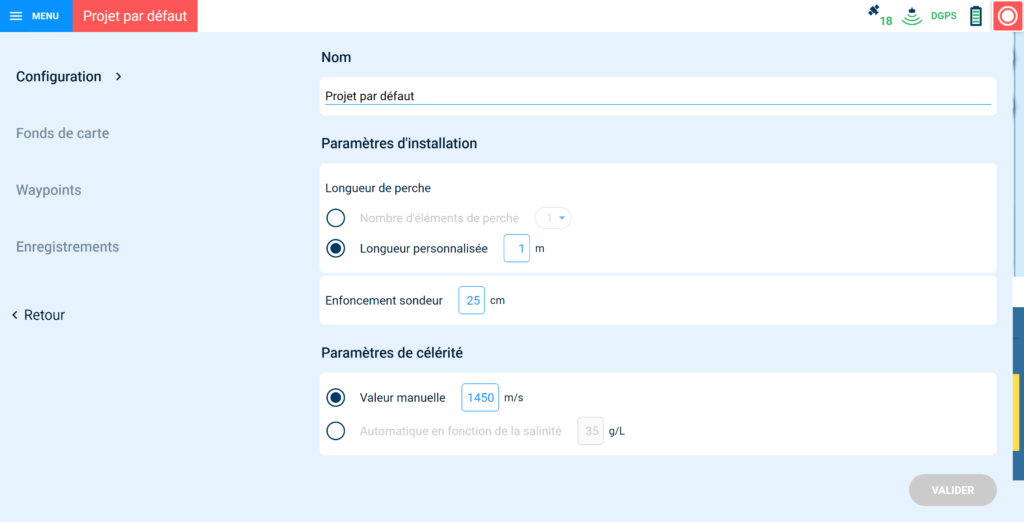
Several choices are available to orient the map according to its need: follow the north, the orientation of the boat or the orientation of the tracking lines.
It is now possible to integrate one or more plan backgrounds simultaneously in .kml format.
During the mission, the plan funds are there to keep the link between the mission and the completion of the bathymetric survey. Real time savings since there is only one software for configuration and monitoring, in addition to the mission in real time.
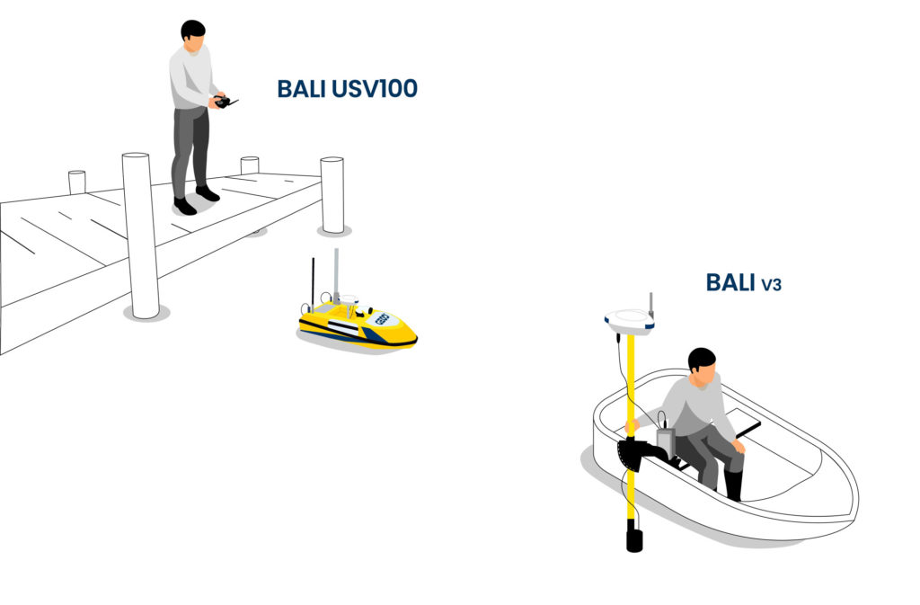
The BALI antenna has the distinction of adapting to both the BALI bathymetry system and the USV100 and USV200 marine drones. These are a real advantage for operators, allowing them to stay dry and safe during bathymetric surveys.
Did you like this article ?
Share it with your colleagues or friends

CADDEN announce becoming the official distributor of Flasheye in France.
CADDEN expands its range with Obscape’s autonomous and connected solutions